The main points
- A guided 4.5-hour trip to Sommarøy with a VIP salmon picnic, live tour guide and audio guide.[1]
- Prices start at US$55; free cancellation applies until 24 hours before.[1]
- If the sky is dark and clear, the northern lights may be visible from late August to early April.[2]
- During winter, herring attracts orcas and humpback whales into the region.[3]
- Warm layers are important in Tromsø, where winter temperatures average near −4°C.[4]
- Top choice Sommarøy Exp. VIP Salmon Picnic from US$55 Rating4.73[1]Duration4.5 hours[1]GuideEnglish, Spanish[1] Check availability
- Sommarøya & Kvaløya Fjord Lunch from US$113 Rating4.78[5]Duration5.5 hours[5]GuideEnglish, Spanish[5] See this tour
- Sommarøy & Kvaløya Scenic Fjord from US$220 Rating4.81[6]Duration6 hours[6]GuideEnglish, Norwegian[6] See this tour
The average winter temperature in Tromsø is around −4°C.
A rewarding way to read the fjord landscape
Getting ready
- Dress in warm layers for an Arctic day
- Choose a tour with a live guide and audio guide
- Allow 10-20 minutes between the airport and city centre.[7]
- Carry a payment card for small purchases
What a fjord actually is
A fjord is a deep glacial valley that has been flooded by the sea. It begins as a river valley, then ice thickens and moves along it, scouring the bottom. When the climate warms and the ice retreats, seawater moves in. That is the short story of how the fjords were made, and it is the story written across the coast around Tromsø.
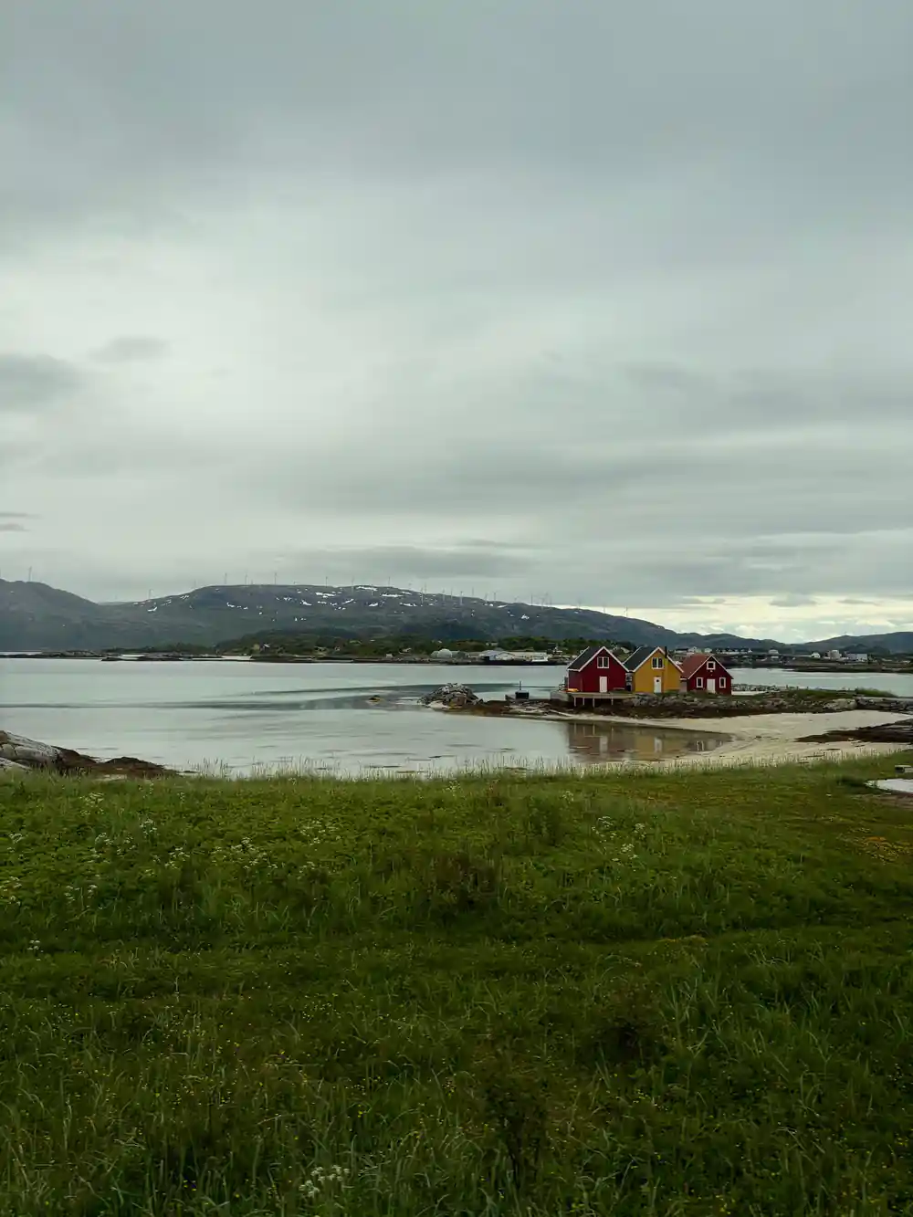
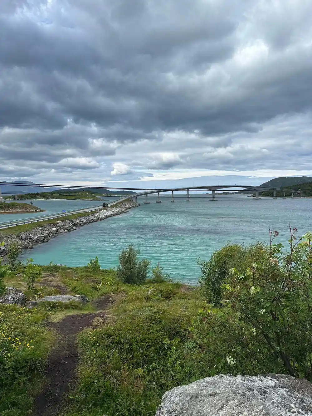
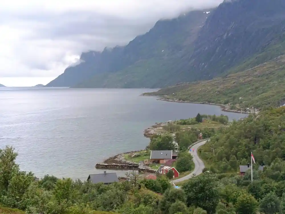
You can see the result from Tromsø. Kvaløya, the island west of the city centre, covers 737 square kilometres including the small island Håkøya.[8] Its outer coast holds sandy beaches, small fishing villages and views across open water. On a clear day the mountain profiles change as the road bends, and the water takes on a pale turquoise glow in the shallows.
A fjord is not simply a bay. The shape matters: the deep basin, the steep sides and the shallow threshold at the seaward end. The next sections explain each part, because once you know what to look for, the landscape becomes easier to read from a bus, a boat or a picnic spot.
Why they are so deep
The same glacier that widened a valley also deepened it. Ice moves under its own weight and carries rock debris at its base, like sandpaper. Over many cycles, it grinds the floor well below sea level. This is why the water in the middle of a fjord can be surprisingly deep even when the shore shelves gently.
The deepest part of a fjord usually sits inland, not at the coast. That is because the ice was thickest there and had the most power to erode. Near the mouth, the glacier thinned and spread, so it carved less. The result is a basin that holds cold, still water and gives the cliffs their dramatic drop.
When the ice eventually melted, the sea poured into the overdeepened trough. What you see today is a long, sheltered waterway with steep walls and dark water. The same process shaped the route the Sommarøy tour follows, which is why a guided half-day trip can show so many different views in a short distance.
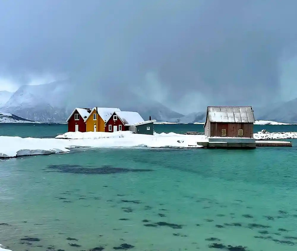
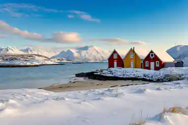
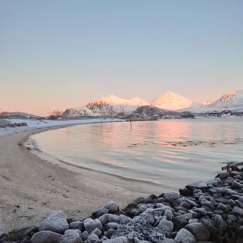
Pale turquoise shallows and a snowy shoreline on the Sommarøy coast
The sill at the mouth
Many fjords have a rocky lip near the entrance. This sill is left where the glacier's erosive power dropped, often at a former ice front. It can be barely covered by water or hidden just below the surface. For sailors it can mark a change in conditions, and for the landscape it is the boundary between inner calm and open sea.
The sill separates the deep inner basin from the open sea. It affects currents and water exchange, and it gives fjords their distinctive character. In Norway, whale-watching vessels must keep at least 0.2 nautical miles (370 meters) away from fishing vessels, seines, or fixed gear.[9] That rule is a reminder of how carefully boats work around this busy coast.
For a visitor, the sill is not always obvious. You might notice calmer water inside and a more exposed stretch near the mouth. A guided fjord trip will point out these changes as the boat or bus moves along the coast, and it helps to know that what looks like a uniform shoreline is actually shaped by hidden thresholds.
Rock much older than the ice
The ice that carved the fjords was geologically recent, but the rock beneath it is extremely old. Much of the bedrock in northern Norway formed long before the ice ages and has been folded, faulted and worn down many times. Visitors sometimes assume the mountains are young because they look so sharp, but the hard rock has been here for a very long time.
The glaciers did not create the mountains from nothing. They sculpted pre-existing valleys and followed lines of weakness in the rock. This is why fjords can seem to turn suddenly and why the sides are often steep. The ice worked with the grain of the land, deepening routes that water had already begun to cut.
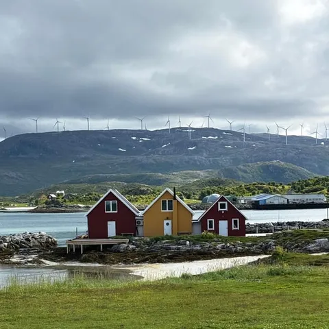
Standing on the shore at Sommarøy, you are looking at a landscape shaped by ice but built from far older material. It is worth a moment to let that time scale sink in. The sandy beach, the offshore islands and the steep hills behind them all carry a longer history than the last glaciation alone.
from US$55
US$55 is the starting price to join the Sommarøy Fjord Expedition Tour & VIP Salmon Picnic.[1]
When the ice left
As the last glaciation ended, the ice thinned and pulled back. The land, freed from the weight of the ice, began to rise. Meanwhile the sea level was also changing, and the two movements together created a coast of fjords, islands and shallows. It was not a tidy process, and the evidence is all around the route to Sommarøy.
The retreat was not a single smooth event. Ice sometimes paused, depositing ridges and blocks of debris that became islands or peninsulas. The result is a coastline with many sheltered channels, where a sudden turn can hide a fishing village or open onto a wide sandy bay. These small details make exploring by road so rewarding.
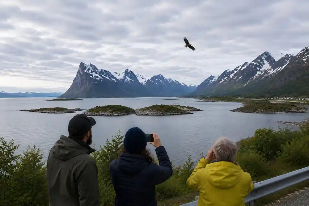
Today the seasons still set the rhythm. In the Tromsø region, aurora sightings are possible between late August and early April, whenever darkness and sufficiently clear skies coincide.[2] Herring draws orcas and humpback whales to the area during the winter.[3] On a winter fjord trip, you can look for whales in the same waters the glaciers once filled.
The land is still rising
The land has not finished responding. Parts of northern Norway continue to rise slowly as the crust readjusts after the ice melted. This is why you may see old shorelines and raised beach terraces above today's water level. It is a slow, measurable movement that changes the shape of the coast over centuries.
The change is slow enough that maps stay useful, but fast enough that geologists can measure it. It also means that some shallow areas that were once under water are now dry land, and a few connections between islands have changed. For the traveller, the important thing is that the fjord landscape is not a frozen snapshot; it is still alive.
In Tromsø, this gradual rebound is part of a living landscape. Romssa Arena football stadium is north of the Arctic Circle by 350 kilometres; the same geological forces are still reshaping the coastal area where the city lies.[10] That combination of northern latitude and ongoing change is part of what makes the area fascinating.
Why this is not a sea loch
A fjord is often compared to a sea loch, especially by visitors from Scotland and Ireland. The two can look alike, but the deep basin and the sill are what make a fjord a fjord. A sea loch may have a different origin and shape, so the distinction is not just a matter of language.
In Norway, the word fjord is used widely for coastal inlets, but the classic fjord has that glacial U-shape. This distinction matters when you are choosing a trip. You want a route that follows the genuine article, with steep sides, deep water and a sill somewhere near the entrance.
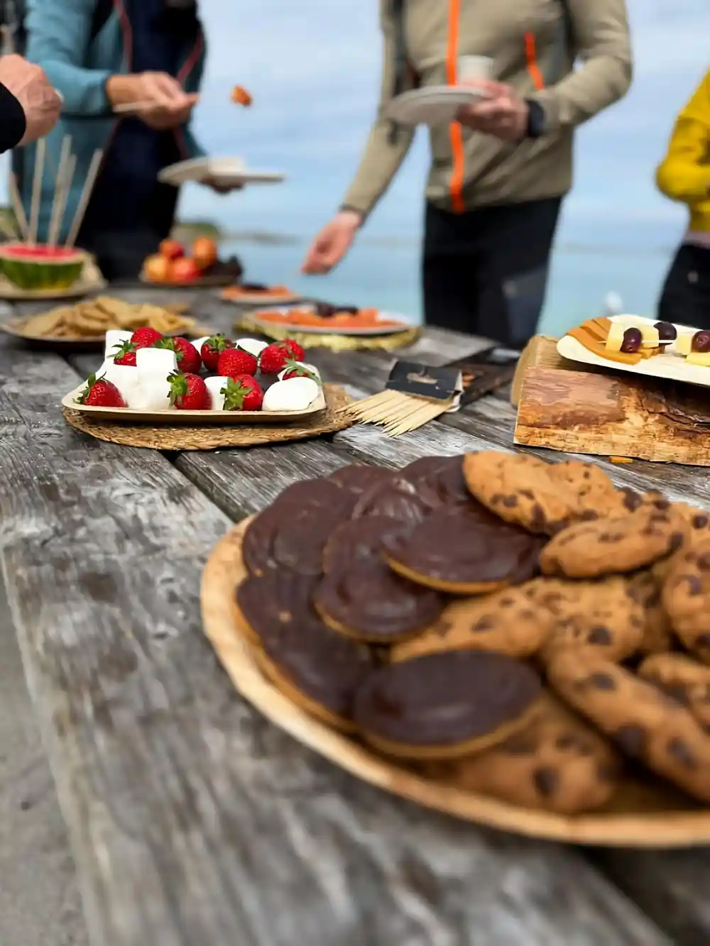
The Sommarøy Fjord Expedition Tour & VIP Salmon Picnic from this site runs for 4.5 hours, with a live tour guide in English and Spanish and an audio guide included.[1] It is an easy way to see the glacial landscape of Kvaløya and Sommarøy for yourself, and it gives you time to stand at the water's edge and picture the ice that once stood there.
Fjord tour from-prices
Compare fjord tour prices
Amounts are from-prices in USD from GetYourGuide listings.[1][5][6]
When to go
How to plan your fjord visit
Choose a route
Pick the Sommarøy Fjord Expedition Tour & VIP Salmon Picnic, which lasts 4.5 hours.[1]
Book early
Book immediately and settle later; cancellation is free until 24 hours before.[1]
Dress for the Arctic
In Tromsø, the winter average temperature is approximately −4°C[4].
Meet your guide
The tour has a live guide in English and Spanish, plus an audio guide.[1]
Leave time for lights
The aurora borealis can show between late August and early April when conditions allow.[2]
See the fjord coast that the ice shaped
from US$55Reserve now & pay later