The main points
- The Sommarøy Fjord Expedition Tour & VIP Salmon Picnic pairs western fjords, fishing villages, and pale turquoise shallows with a relaxed 4.5-hour trip.[1]
- From US$55, the Sommarøy expedition is one of the cheapest ways to reach the white-sand coves west of Tromsø.[1]
- You get a live guide in English and Spanish, plus an audio guide on the Sommarøy tour.[1]
- Reserve now and pay later, with free cancellation up to 24 hours in advance for a full refund.[1]
- The northern lights may be visible in the Tromsø region from late August to early April, whenever the sky is dark and clear.[2]
- Top choice Sommarøy Expedition from US$55 Duration4.5 hours[1]Traveller rating4.73 from 5,005 reviews[1]Group feelTrip includes Sommarøy and Kvaløya scenery Check availability
- Scenic Fjord Tour from US$220 Duration6 hours[3]Traveller rating4.81 from 247 reviews[3]Group feelSmall group limited to 8 participants[3] See this tour
- Fjords with Lunch from US$113 Duration5.5 hours[4]Traveller rating4.78 from 343 reviews[4]Group feelSmall group limited to 15 participants[4] See this tour
During the winter, orcas and humpback whales gather in the area to feed on herring.
The best fjord day from Tromsø
Know this first
- Reserve now and pay later
- Free cancellation up to a day in advance
- Live guide in English and Spanish
- Audio guide included on the Sommarøy tour
What to expect
- A fjord road trip past fishing villages and island views
- A half-day expedition with unhurried photo stops
- Pale turquoise shallows, white sand and snowy shorelines
- Dress warmly; the sea wind cuts quickly
Why there are so many
Tromsø sits on an island between mainland Norway and the big islands of Kvaløya and Senja. To the west, roads weave over mountains and down to exposed coves. To the east, long fjords push towards the Lyngen Alps. This is not one fjord, but a whole landscape of drowned valleys, island channels, and open coastal water. The shape of the land is the work of ice: glaciers deepened old valleys, the sea flooded them, and the result is a maze of narrow sounds and broad bays. Seen from a hilltop on a winter afternoon, the water looks as if it has been poured between the peaks, which is why a fjord trip from Tromsø can feel so varied even over a short distance.
The result is that a single day trip can feel completely different depending on which direction you head. West is sandy beaches and fishing villages. East is steeper, wilder, and more remote. Both are within reach, but they ask for different plans. Along the outer coast the land opens up to the sea and the sky feels enormous, while inland the mountains close in and the light arrives late and leaves early. It is worth deciding what kind of afternoon you want before you book, because the two routes share little beyond the starting point.
How they differ from the western fjords
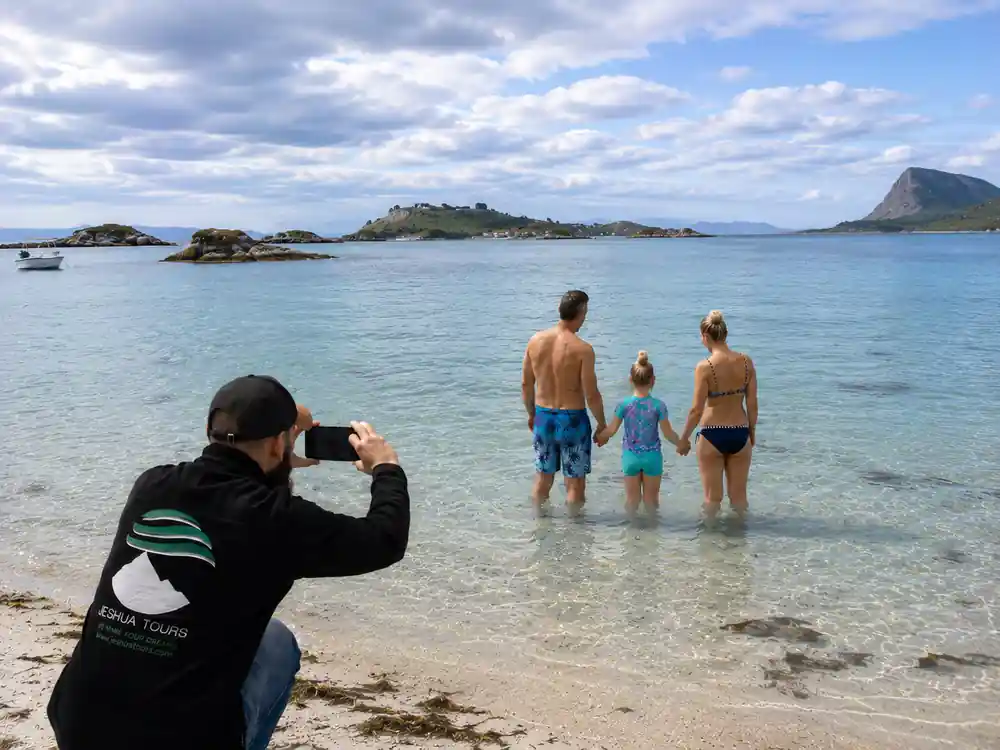
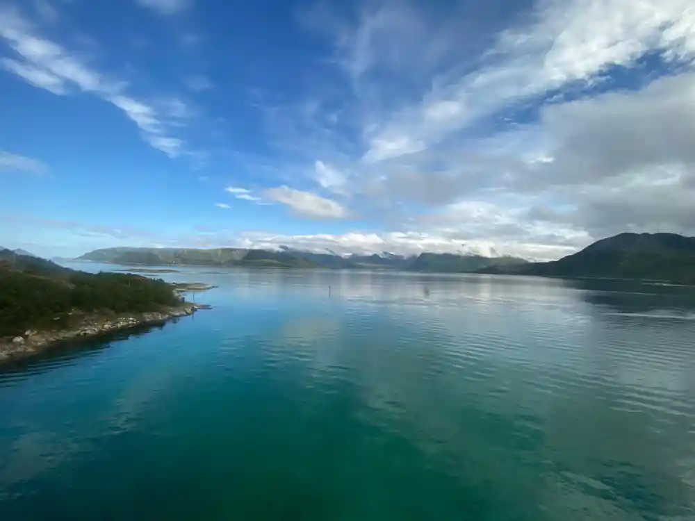
Compared with the long, deep fjords further south, many fjords near Tromsø are shorter and more exposed to the open sea. The mountains still rise sharply from the water, but the outer coast has a lighter, more island-like feel. On the west side, especially around Sommarøy, the shallow bays can glow a pale turquoise even under a grey winter sky. The water is clearer than you might expect this far north, and the seabed lightens the colour where sand and shell fragments catch the low sun.
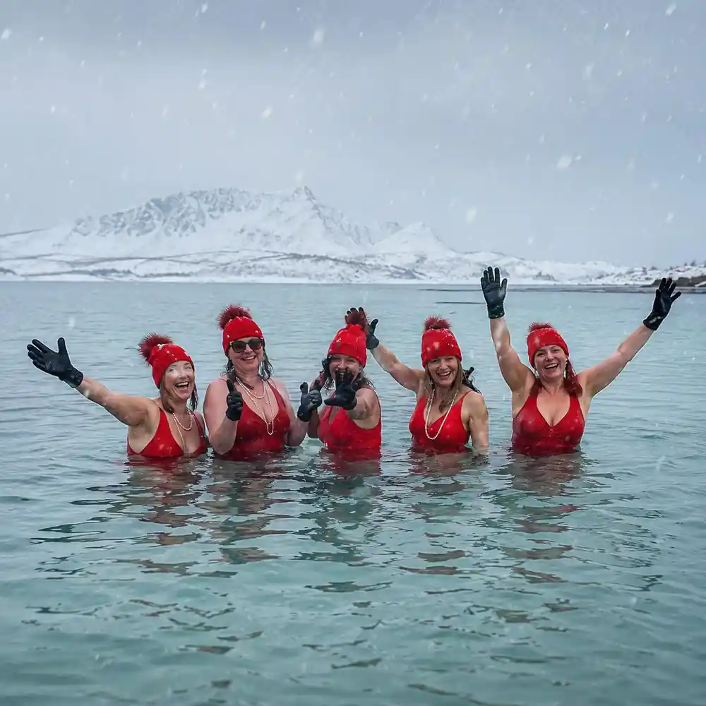
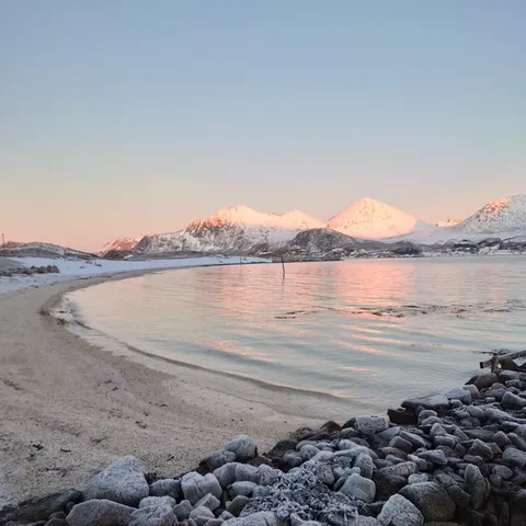
In Tromsø, the winter average temperature is approximately −4°C[5]. That is cold enough for snow on the peaks, but mild enough that the lower fjord shoreline stays interesting all winter. Because the sun is low in the sky, colours last longer, and the water seems to change by the hour. Morning tours catch a soft pinkish light on the slopes; afternoon trips often end with the mountains turning dark blue against a bright western horizon. Even a cloudy day has its own mood, with the sea blending into the sky and the snow picking up every hint of colour.
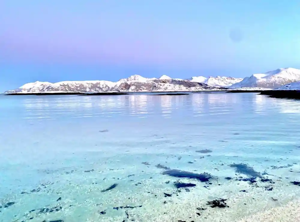
Pale turquoise shallows and white sand on the outer coast near Sommarøy.
West: Kaldfjord, Ersfjord and the outer islands
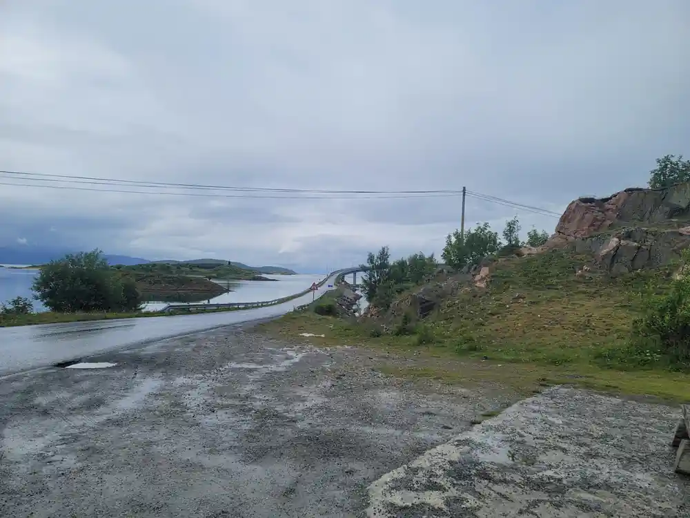
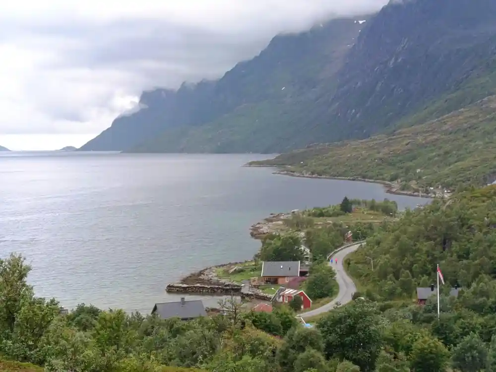
The classic western route crosses Kvaløya, passing one fjord arm after another. Kaldfjord is the first proper fjord you meet, sheltered and ringed by low mountains. Further out, Ersfjordbotn is a favourite viewpoint, with dark slopes and a handful of houses scattered along the shore. Beyond that, the road narrows as it approaches the outer islands. In winter the ploughed road winds between snow banks, with occasional gaps that open onto frozen bays and wind-stripped headlands. In summer the same stretch is green, busy with small boats and holiday cabins.
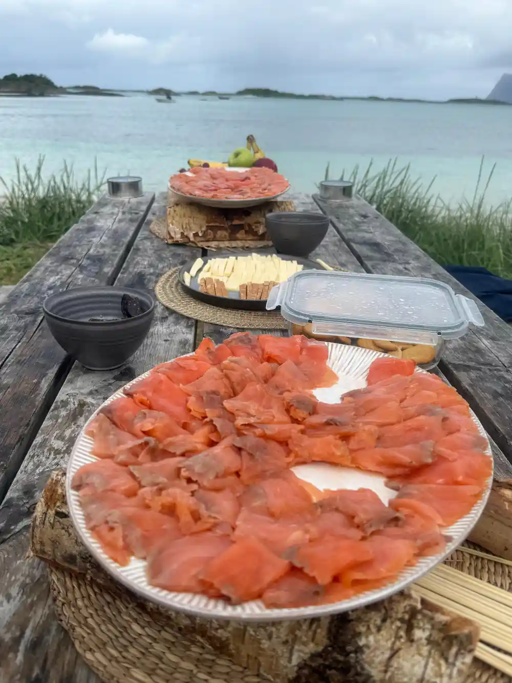
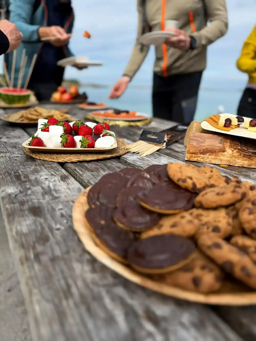
The Sommarøy expedition follows this route and makes the trip easy: it runs for 4.5 hours and includes a live guide in English and Spanish.[1] You cross Kvaløya, reach Sommarøy, and stop for a VIP salmon picnic by the water. The white sand and bright shallows feel surprising this far north, and the fishing cabins add a classic Norwegian coastal scene. There is time to walk along the shore, breathe the salt air, and watch the light move across the islands. The guide adds context along the way, pointing out details you would otherwise drive straight past.
East: Balsfjord, Ullsfjord and the Lyngen Alps
East of Tromsø, the scale changes. Balsfjord runs inland past forested lower slopes, while Ullsfjord stretches up towards the dramatic peaks of the Lyngen Alps. On a clear day, the snow-covered summits look close enough to touch, even when they are a long drive away. This is the direction for travellers who want big mountains and fewer settlements. The settlements are smaller and further apart, and the road follows the water for long stretches with almost no traffic. It feels more like an expedition than a sightseeing loop, which is exactly what some travellers are after.
Touring east usually means a longer day. Some trips run around 9 hours and cross to Senja, with stops at viewpoints, fjord villages, and beaches.[6] Others focus on the Lyngen Alps by snowmobile in winter. If your time is short, the west route is the easier half-day choice; east is worth saving for a full day. The extra hours are mostly spent on the road, so bring snacks and a thermos. Take the mountain views when you get them: the weather can close in quickly, and the peaks are often at their best early or late in the day.
from US$55
Take the 4.5-hour Sommarøy Fjord Expedition Tour & VIP Salmon Picnic, with a live guide, audio guide, and a picnic by the shore.[1]
Which are reachable by road
Most of the fjords near Tromsø are reachable by road because the main island of Kvaløya is connected by bridge and tunnel. You can drive along fjord edges, climb over mountain passes, and drop into small fishing villages without needing a boat. The Sommarøy route is the most practical for a guided half-day trip, while northern Senja is reachable with a ferry crossing and a longer drive. This makes planning simple: you are never committed to a fixed boat timetable, and the weather forecast for the road is a good guide to what you will see.
If you want to go independently, Grøtfjord on Kvaløya's outer coast is a popular sandy beach, roughly 36 kilometres from Tromsø city centre.[7] It is a lovely place to walk, but the guided tour removes the worry of parking and route-finding while adding the picnic and local stories. Driving yourself also means watching the road instead of the scenery; on narrow fjord roads it is worth taking turns at the wheel if you can.
So which is best
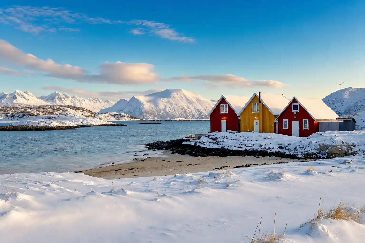
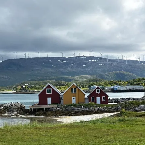
For most first-time visitors, the west road to Sommarøy is the best introduction. It is compact, scenic, and full of stops that photograph well: red-yellow fishing cabins, snow-covered shorelines, and turquoise shallows. It also works well in winter, when the light is low and the snow contrasts with the water. The Sommarøy Fjord Expedition Tour & VIP Salmon Picnic does exactly this, with a live English and Spanish guide, an audio guide, and a generous picnic spread.[1]
If you have already seen the west side, or you love big alpine views, head east instead. The Lyngen Alps and Senja offer a completely different mood, but be ready for a longer day and more driving. Both routes have their magic; choose based on how much time and energy you have. Travellers with young children or limited mobility often prefer the shorter west route, while photographers and hikers tend to gravitate east. There is no wrong choice; there is only the choice that fits your day.
How far you can get in a day
A half-day gives you time for the western fjords and Sommarøy without rushing. The 4.5-hour Sommarøy expedition fits neatly into a morning or afternoon, leaving the evening free for hot drinks, a sauna, or a northern lights hunt.[1] A full day opens up the Lyngen Alps or Senja, but expect to spend most of it travelling and taking photo stops. If you only have one day in Tromsø, the half-day choice is usually the smarter one: you still get the fjord experience, and you have the evening for other plans.
Whenever you go, check the season. The polar night in Tromsø lasts approximately from 27 November to 15 January, when the sun stays low or below the horizon.[8] The midnight sun typically arrives in the period from about 20 May to 22 July.[9] Both extremes change the quality of the light, but the fjord scenery is always there. In autumn the colours turn golden and the crowds thin, while in deep winter the snow and the aurora add their own magic. Whichever season you choose, the mountains, the water, and the quiet are constant.
Duration of fjord tours from Tromsø
Tour durations: Sommarøy Expedition 4.5 hours[1], Arctic Fjords with Lunch 5.5 hours[4], Scenic Fjord Tour 6 hours[3], Senja Fjords & Coast Day Tour 9 hours[6].
Compare fjord tour from-prices
From-prices in US$: Sommarøy Expedition from US$55[1], Fjords with Lunch from US$113[4], Scenic Fjord Tour from US$220[3], Senja Day Tour from US$275[6]. Child pricing confirmed at booking.
When to plan your fjord trip
Plan your fjord day
Choose west or east
West is the classic half-day route to Sommarøy; east is bigger mountain scenery and a longer day.
Book with flexibility
Book now and pay later; you can cancel the Sommarøy tour for free up to 24 hours beforehand.[1]
Dress in layers
Add a windproof outer layer, hat and gloves. The fjord breeze is colder than the city.
Bring a camera
Expect photo stops at fishing villages, shallows, and viewpoint pull-ins along the route.
Keep your evening free
In aurora season, a clear fjord afternoon can lead into a clear northern lights evening.
Explore fjords west of Tromsø? Book the Sommarøy Expedition for a shore picnic seat.
from US$55Reserve now & pay later