The main points
- Bridges, causeways and undersea tunnels tie the islands west of Tromsø together, and the route reaches Sommarøy and its turquoise shallows by road.
- The Sommarøy Fjord Expedition Tour & VIP Salmon Picnic runs 4.5 hours with a live guide speaking English or Spanish, plus an audio guide included.[1]
- Starting at US$55, the tour allows free cancellation until 24 hours before.[1]
- Northern lights can be seen between late August and early April; midnight sun is usually present around 20 May to 22 July.[2][3]
- In winter, humpback whales and orcas congregate locally to eat herring.[4]
- Top choice Sommarøy Expedition Tour from US$55 Duration4.5 hours[1]GuideLive guide: English, Spanish[1]ExtrasAudio guide included[1]Rating4.73 from 5,005 reviews[1]CancellationFree up to 24 hours[1] Check availability
- Sommarøy & Kvaløya Scenic from US$220 Duration6 hours[5]GuideLive guide: English, Norwegian[5]ExtrasSmall group limited to 8[5]Rating4.81 from 247 reviews[5]CancellationFree up to 24 hours[5] See this tour
- Sommerøya & Kvaløya Fjords from US$113 Duration5.5 hours[6]GuideLive guide: English, Spanish[6]ExtrasSmall group limited to 15[6]Rating4.78 from 343 reviews[6]CancellationFree up to 24 hours[6] See this tour
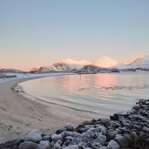
The northern lights may be visible in the Tromsø region from late August to early April, whenever the sky is dark and sufficiently clear.
Why the coastal road is a tour in itself
Getting ready
The problem the road solves
West of Tromsø, the land breaks into a chain of islands. Kvaløya, the big island guarding the city, covers 737 square kilometres, including the small island Håkøya.[9] To reach the fishing villages on the outer coast, you have to cross open sounds, shallow channels and stretches of sea that in winter turn dark and cold. Ferries work, but they run on timetables, and in a region where daylight can be short, every waiting hour matters. The coastal road was built to change that calculation.
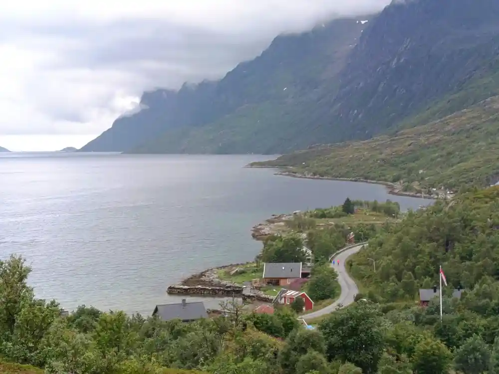
The road links island to island with bridges, causeways and undersea tunnels. It is not a motorway; it is a working route for people who live among the fjords, and it is also a front-row seat to the landscape. Sommarøy, with its white sand and pale turquoise shallows, sits on the far side of the island chain. What used to be a journey of ferries and planning is now a continuous drive that carries you from Tromsø to the outer coast almost as easily as a river follows its bed.
Bridges across shallow water
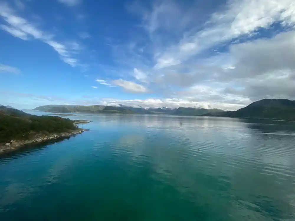
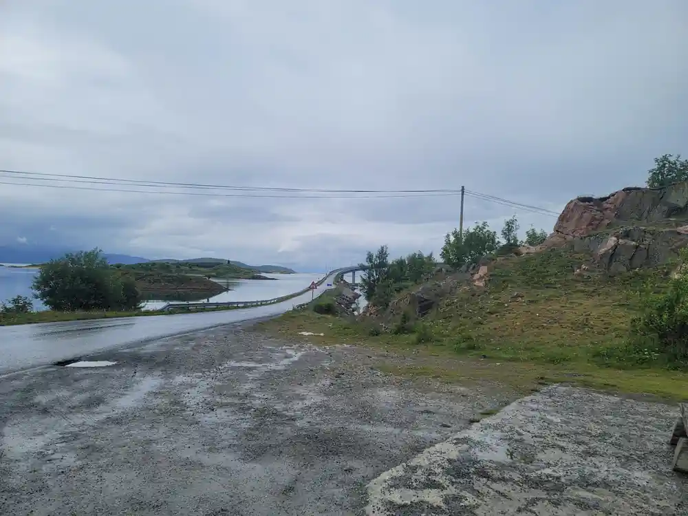
Where the sounds are shallow, the road crosses on low bridges that let the tide move beneath them. These are not grand suspension spans; they are practical structures built for weather and water. Seen from a coach window, the pattern repeats: island, bridge, island. Each crossing is short, but together they create a sense of travel. The water around Sommarøy is famously clear, and from a bridge you can watch the colour shift from grey-green to pale turquoise as the road heads towards the outer coast. On a calm day, snow-covered mountains double themselves in the still water.
Bridges also carry the rhythm of the journey. Every crossing feels like a small arrival, and after a handful of these links, the scattered islands begin to feel connected. For photographers, the bridges are quiet viewpoints: from the right spot you can frame a fishing cabin, a snowy ridge and a band of clear water in a single picture. The low, simple design keeps the eye on the fjord rather than on the engineering. Travel low, and you notice tides, boats and birds in a way you never would from a high motorway.
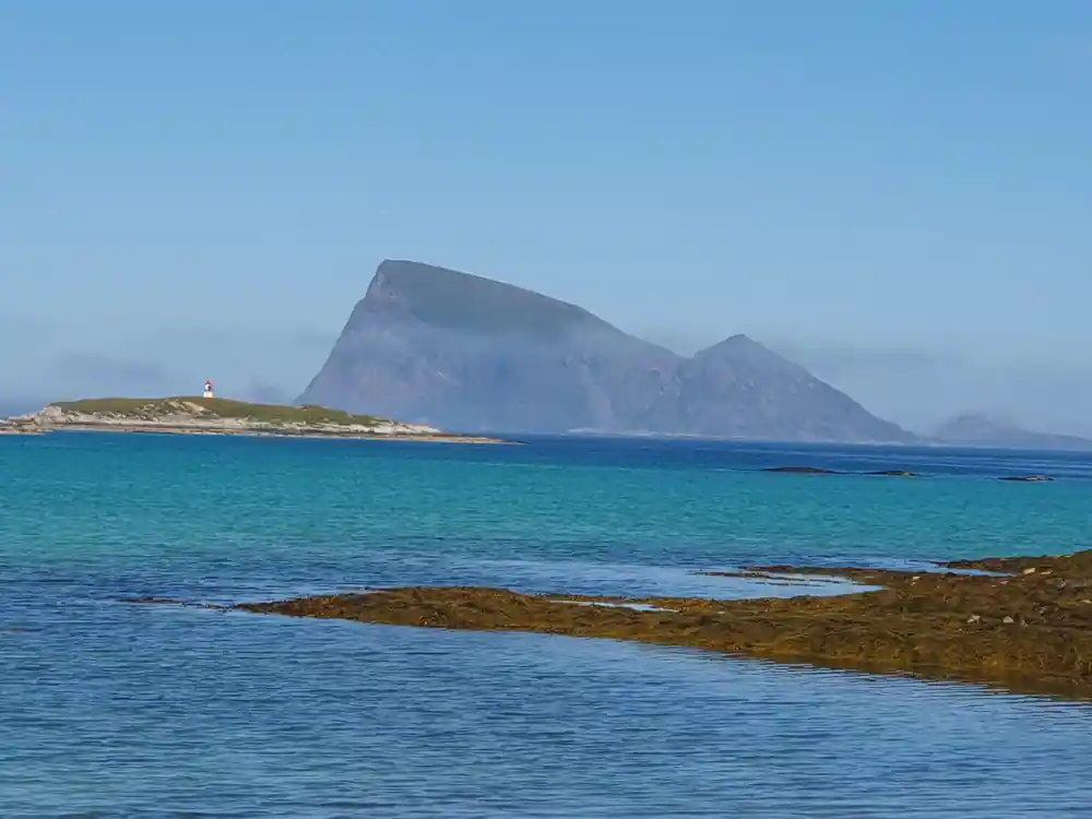
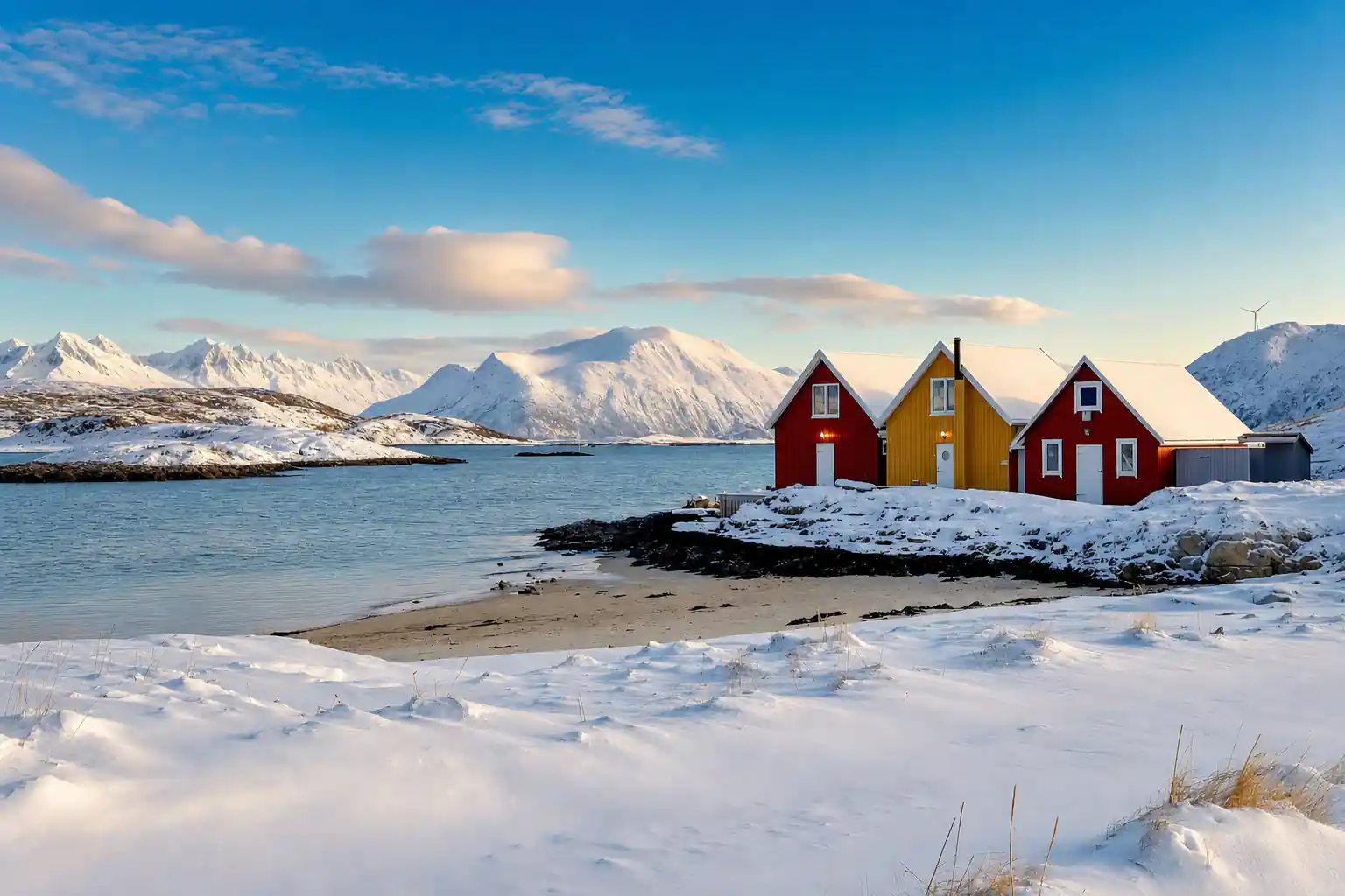
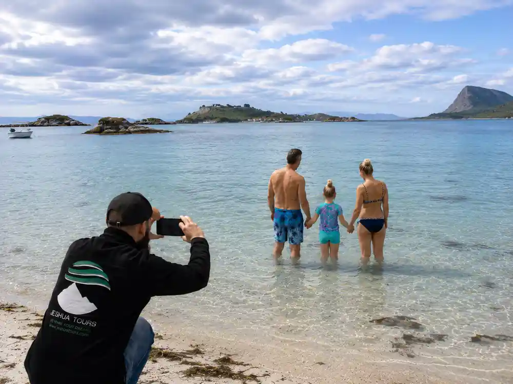
Pale turquoise shallows and a snowy shore near Sommarøy, where the coastal road completes its island hop.
Causeways, the simpler answer
When a sound is very shallow, engineers choose a causeway rather than a bridge. A causeway is a raised bank of stone and gravel with the road on top and water on both sides. It is quieter than a bridge, and the road simply continues onto the next island. Driving a causeway feels different from driving a bridge: the water comes right up to the road, sometimes within arm's reach, and you understand how open and exposed this coast really is. In rough weather, waves can wash against the stone sides, and the road is built to take that.
For the traveller, causeways are where the classic Sommarøy views come together. White sand, shallow water and a horizon of bare mountains appear in the same glance, and the light changes minute by minute as clouds move over the fjord. The road makes the islands feel close, and the picnic stop at the end feels earned. If you are riding on the Sommarøy Fjord Expedition Tour & VIP Salmon Picnic, these are the moments that stay with you after the drive is over.
The undersea tunnels
Where a bridge or causeway would block deep water, the road goes underneath. Undersea tunnels are expensive and dramatic, but they keep traffic moving when the fjord is deep and the weather turns. You descend in long curves, pass under the seabed, and come up on the next island. For drivers, a tunnel can feel like a sudden shift from open views to white tiles and long lines of lights. For passengers, it is a reminder of how determined this road is: the same route that glides over shallow sounds simply dives when the water gets deep.
Tunnels also let the trip to Sommarøy run without ferry timetables. You move from island to island in a continuous drive, and you still have time for a long picnic lunch at the coast. The engineering may disappear from view, but its effect stays: a road that answers the weather, the depth of the water and the needs of the people who live here. It is an unusual feeling to drive beneath a fjord and then emerge into bright Arctic light on the far shore.
from US$55
The tour lasts 4.5 hours with a live guide in English or Spanish and an audio guide; free cancellation up to 24 hours ahead.[1]
Why build all this for so few people
Tromsø is a small city in a very large landscape. Its football stadium sits 350 kilometres north of the Arctic Circle.[10] The communities scattered across Kvaløya and the outer islands are small, but they are home to people who need to reach school, work and shops all year round. Fixed links matter for fishing, tourism and emergency services. A causeway or tunnel may serve a small number of residents, but it changes their daily lives, and it opens the coast to visitors who would otherwise need a boat.
The road is a long-term investment in a region that lives by the sea. During winter, killer whales and humpback whales come together in the region to eat herring, while whale-watching boats set out from the same harbours.[4] The road carries workers, fish, supplies and travellers to the water's edge. For a visitor, the human story is part of the view: every bridge and tunnel marks a decision that these islands deserved to be connected, and the result is a drive that feels both practical and profoundly beautiful.
What it means for the trip
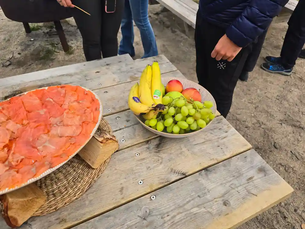
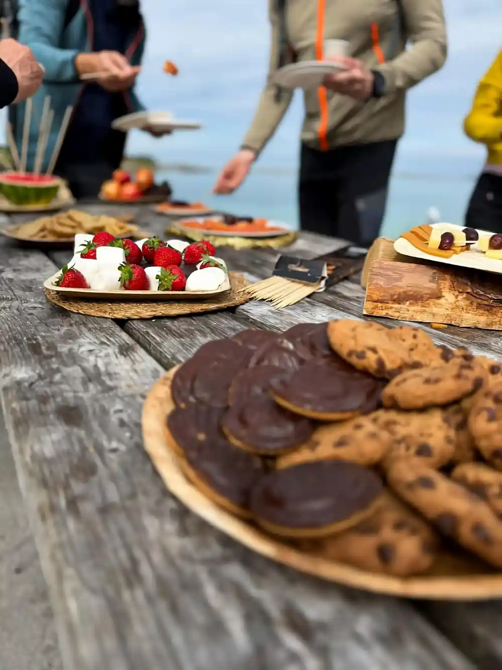
For visitors, the coastal road turns a complicated island chain into a simple day out. The Sommarøy Fjord Expedition Tour & VIP Salmon Picnic lasts 4.5 hours and includes a live guide speaking English or Spanish plus an audio guide, with prices starting at US$55.[1] The tour follows the road out to Sommarøy, crossing bridges and causeways, passing fishing villages and sandy coves, and ending with a VIP salmon picnic on the shore. The pace is unhurried, and you have time to get out, breathe the cold air and take pictures.
Book now and pay later; at no charge you can cancel until 24 hours before and get a full refund.[1] The drive is a half-day, and it pairs well with an aurora hunt in winter or a midnight-sun evening in summer. Around Tromsø, the northern lights can be seen between late August and early April, provided the skies are dark and sufficiently clear.[2] The same road can look completely different depending on the season.
The road in winter
Winter is when the coastal road shows its character. In Tromsø, the winter average temperature is approximately −4°C[7]. Snow sits on the islands, the sea steams in the cold, and low sun turns bridges and tunnels into streaks of light. Early in the season, darkness dominates: in Tromsø, polar night runs from about 27 November until 15 January.[11] It is also a fine time to hunt auroras; the northern lights can appear in the region between late August and early April if skies are dark and sufficiently clear.[2]
At the opposite end of the year, Tromsø typically has the midnight sun from about 20 May until 22 July.[3] Then the road stays light long into the evening, and the picnic at Sommarøy can feel like a summer meal, even if the water is still Arctic. Whichever season you choose, dressing in layers and booking with flexibility will let you enjoy the coastal road fully. The road does not close for winter; it adapts.
Coastal road tour from-prices
Compare tour prices
When to travel the coastal road
Coastal road plan
Book the tour
Reserve the Sommarøy Fjord Expedition Tour & VIP Salmon Picnic from US$55.[1]
Check daylight
In Tromsø, the polar night lasts about 27 November to 15 January.[11]
Dress warmly
Tromsø's average winter temperature is around −4°C.[7]
Hunt the lights
Between late August and early April, northern lights appear when the sky is dark and clear enough.[2]
Arrive in Tromsø
Airport to city centre takes about 10-20 minutes.[8]
Ready to see the bridges, tunnels and islands for yourself?
from US$55Reserve now & pay later